Ski it
4,867 ftsummit
3,430 ftvertical, the most in the East
1 mterrain detail from USGS lidar
24 miof trail on the model
How it was built
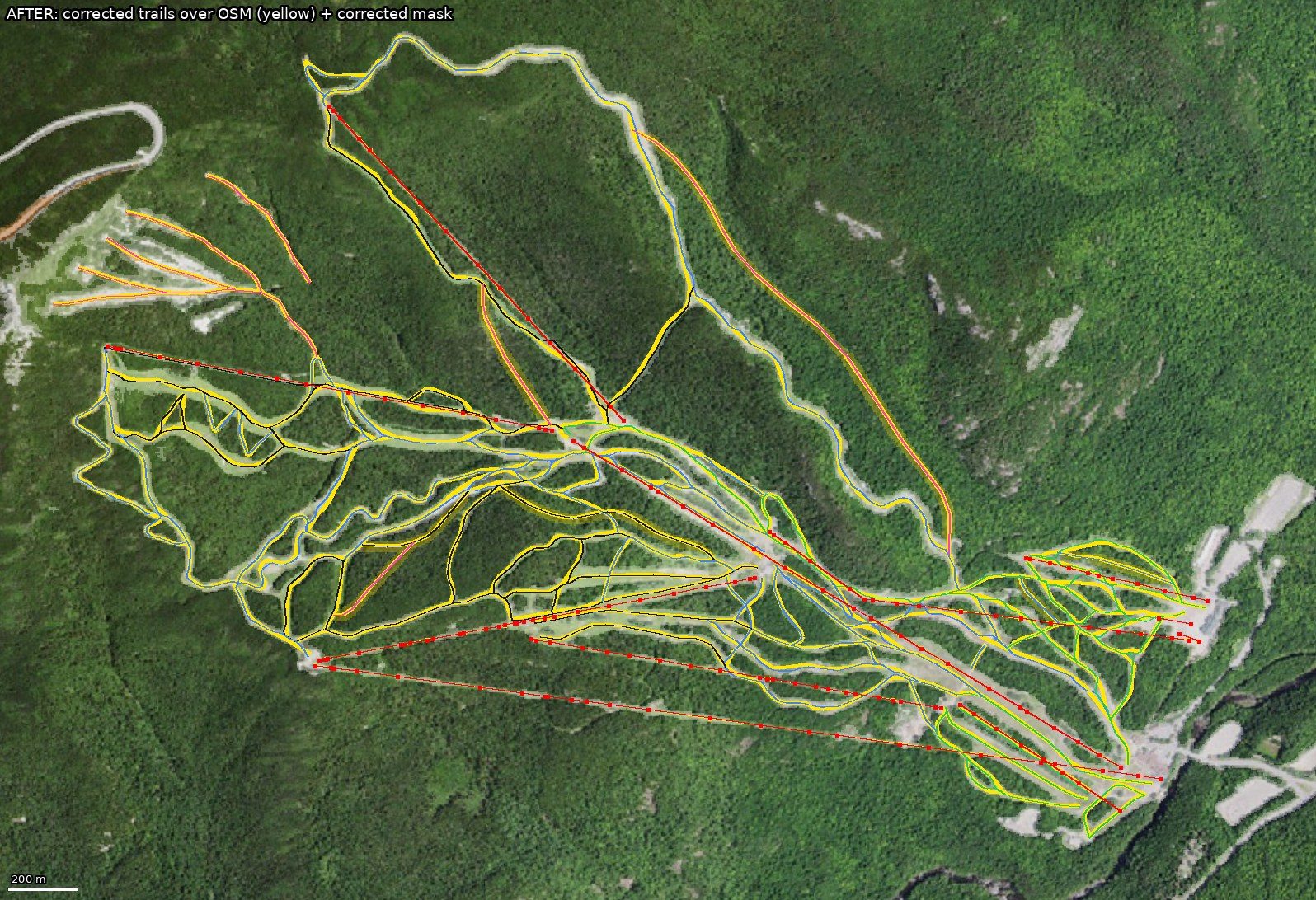
A skier who knows Whiteface run by run directed it, and Claude, Anthropic's AI, built it with a team of specialist agents. The ground comes from the US Geological Survey's laser survey, the trails and lifts are placed where they really are, and a custom 3D engine runs it all in a browser.
Ten days from a few animated ski scenes to a to-scale mountain.
Suggest an update
Know the mountain? Tell us what to add or fix: a trail that's off, a landmark, a sign, a feature you want in the game.