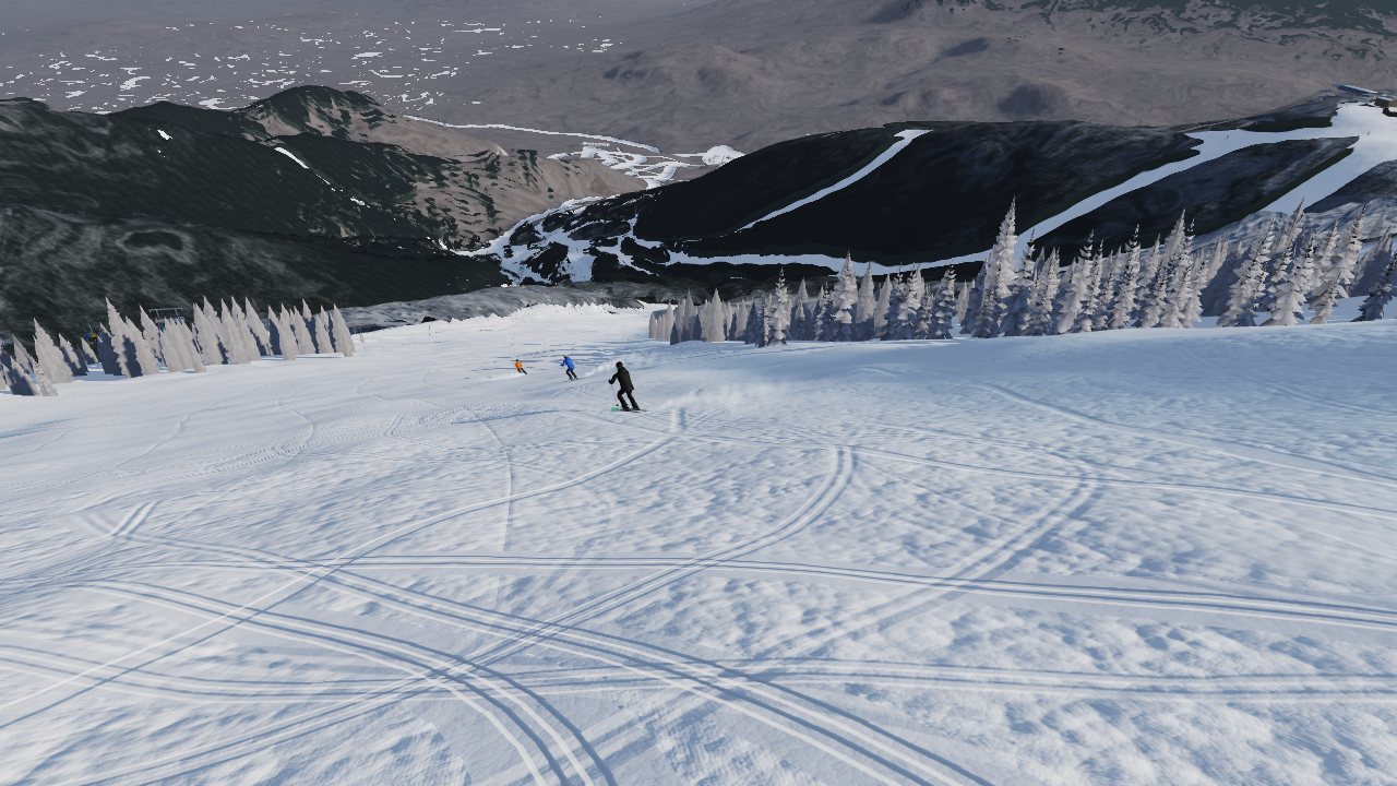
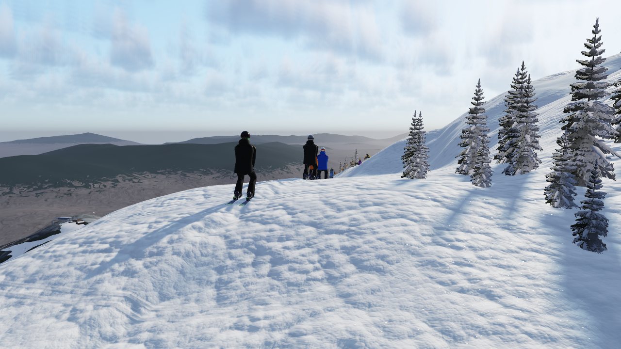
A skier's to-scale model of Whiteface Mountain

Whiteface, Rebuilt

Every trail, lift and drop of Whiteface, rebuilt from laser survey data and played in a web browser. One skier's ten-day project to make a version of the mountain that looks and feels real.

Part one

Why

Whiteface is the crown jewel of skiing in New York. It has the biggest vertical in the East, a summit you can see from Lake Placid, and runs like Skyward that drop straight off the top of the lift into a giant tilted field of snow.

I've skied it for years with the same crew: Upper and Lower Skyward, Paron's, Cloudspin, the Follies, Riva Ridge across the top, the lift line under the Summit Quad. On April 11, 2026 I recorded my last run of the season on GPS. Like a lot of skiers, I have "a million" recorded runs.

The question was simple: could I build Whiteface itself, at real scale, so I could fly over it, ride the lifts and ski it on the days I can't be there? Not a cartoon or a generic ski game. Whiteface, close enough that the things you look at directly are believable.

"The things I'm looking at directly I really wanna believe."The standard set for every round of work

That standard drove everything that follows. Whiteface comes first. The same pipeline is built to do Gore, Belleayre and the other New York mountains next.
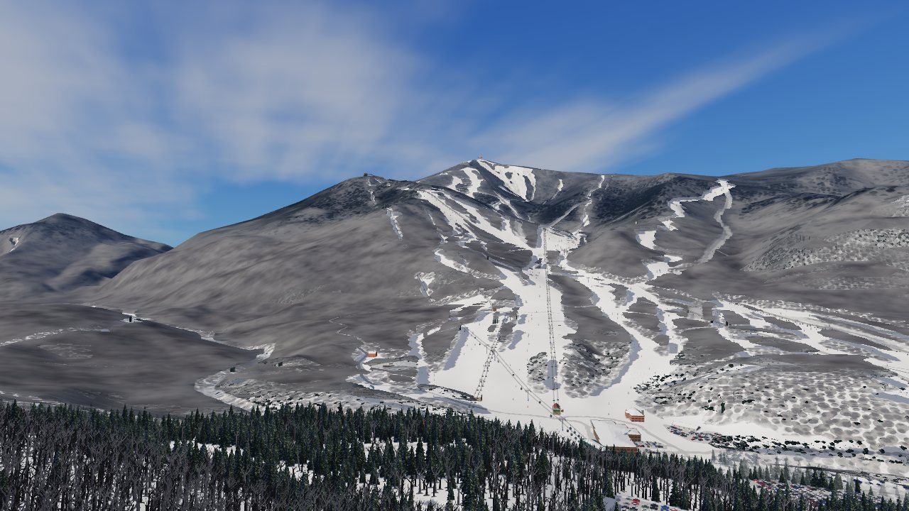
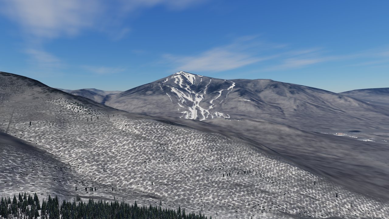
The whole of Whiteface seen from the valley in the model
The whole mountain in the model, from the valley. The terrain is real elevation data, and every trail and lift sits where it is on the hill.
Part two

How

No game studio and no off-the-shelf game engine. Just me as director and skier-in-chief, Claude (Anthropic's AI) as builder, and the best public data on the mountain.

1 mterrain resolution from the USGS 2014 laser survey
32Mlaser points processed for the Skyward area
3,430 ftvertical, summit 4,867 ft to base 1,220 ft
24 miof cut trail on the slope, checked against Whiteface's "over 24 miles"
30+specialist AI agents, each owning one part of the build

Start from the ground truth

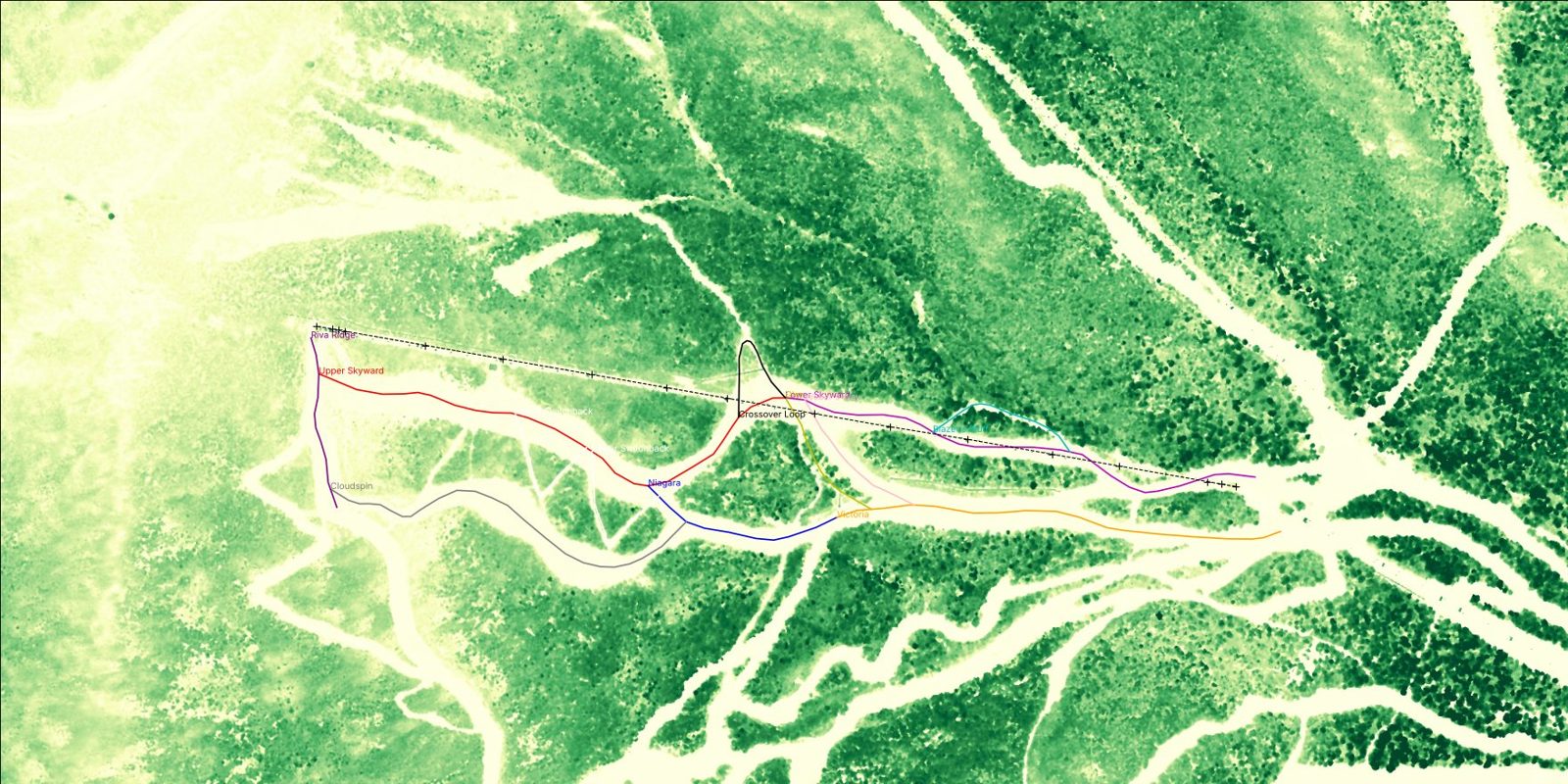
The shape of the mountain comes from the US Geological Survey's 2014 airborne lidar of the Adirondacks: bare-earth elevation at 1 m, plus the raw point cloud. From the point cloud we computed a canopy height for every square metre. That shows where the trees actually stop, which gives the real cleared width of each trail rather than a guess.

Lay the trails and lifts where they really are

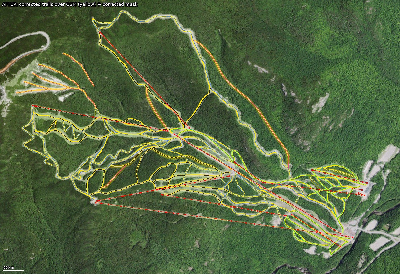
Trail and lift lines start from OpenStreetMap and are re-centred against the lidar. Every lift's ends were checked against Whiteface's published elevations (within about 10 m) and lengths (within about 3%). Pitches were measured metre by metre: Upper Skyward's lip is about 36° over 10 m.

Check it against what a skier actually sees

Published facts from whiteface.com and the State's land-use plan, nearly a hundred lift-ride and trail videos, and years of my own photos from the hill were used as reference. Details like the carved bears by the old start house on the Summit Quad, and the "you are now higher than…" signs on its towers, were confirmed from ride videos.

Build a real-time 3D engine from scratch

A custom WebGL engine renders the mountain in an ordinary browser, on a laptop or a phone: lit terrain, forests of individually placed trees, snow that shows groomed corduroy versus ungroomed bumps, lift towers, chairs, gondola cabins, stations, lines of skiers and weather. Nothing is installed; it's one web page.

Split the work among specialist agents

Claude ran the build as a team of AI agents, each owning one piece: terrain, trees, the Summit Quad, people and motion, snow and light, sound, buildings and sky, and an independent map audit. Each delivered a report and test results, and Claude merged the pieces. Nothing shipped without passing tests in two browser engines and a review of still frames.

Ski it, say what's wrong, repeat

Every round ended the same way. I skied it and said exactly what didn't feel like Whiteface, and the next round fixed it. That loop is the real engine of the project.

Canopy height map from lidar with Skyward and neighbouring trails
Canopy height from the lidar around Skyward. Pale is open snow and dark green is tall forest. The coloured lines are trails re-centred in their real cuts; the dashed line is the Summit Quad.
Every trail and lift overlaid on aerial imagery
Every trail (yellow) and lift (red) in the model, overlaid on public USGS aerial imagery to check alignment.
Part three

The running process

Ten days, from a few animated ski scenes on a personal website to a to-scale mountain you can ski. Here is how it went, round by round.

Nov 12

It starts as decoration

The first ski scenes were small animations on my personal website: a carver on a groomer, skiers in the glades, a gondola base. They were pretty, but they weren't Whiteface.

Nov 15–16

"I'd like best skiing ever"

My verdict was that they all looked wooden. That round rebuilt the skier from the skeleton up and redid the glades. It also brought in the first real Whiteface world model, from real elevation data and real lift-tower positions. New scenes followed: the summit seen from Little Whiteface, a gondola ride, Mountain Run, and Skyward's drop-in.

Nov 17

Start over with a real 3D engine

"The gondy is so primitive. Skyward is a mess." The hand-drawn approach had hit its ceiling, so a WebGL engine was written from scratch. The gondola and its base were rebuilt on it first, then everything else.

Skyward on the new engineTop of Skyward
Nov 19

From scenes to a whole mountain

"This is what I want moving forward": all of Whiteface at real scale that you can fly over, walk and explore. Research packs were built for Whiteface, Gore and Belleayre. The first to-scale flyover went live, with weather, light and quality settings that run on a phone.

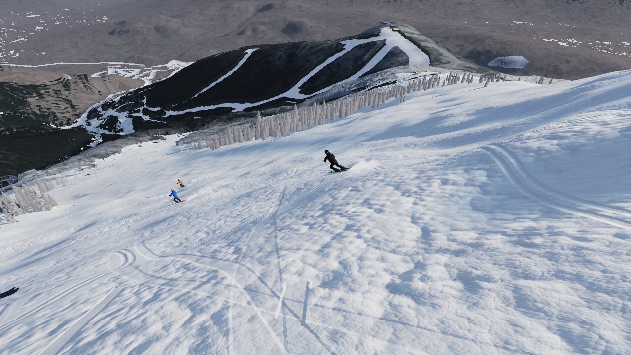
Flyover of the summitThe whole mountain from the valley
Nov 20

Lidar, the Summit Quad, and the full Skyward lap

  • 1 m laser-survey terrain for the Skyward corridor, with trail edges measured from the canopy.
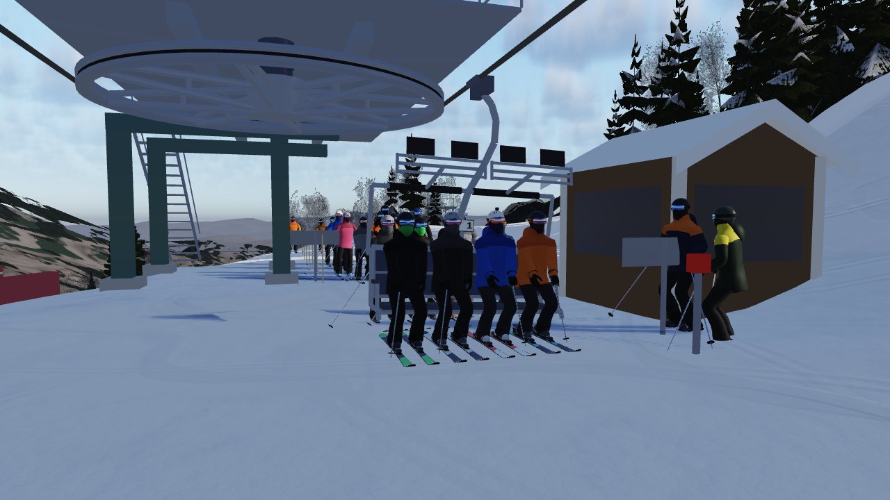
  • The Summit Quad modelled from its real specs: 1997 fixed-grip quad, towers, chairs and stations.
  • Skyward as a full lap: drop in, ski it with the crew, ride the Summit Quad, and back to the sign.
  • Sound in every scene, then a realism pass for ski tracks, speed and lighting.
  • The flyover becomes a game, and "Last run of the season" replays my real GPS track from April 11, 2026.
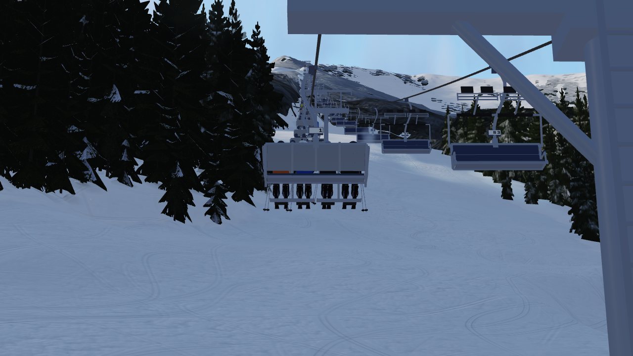
Summit Quad loadingRiding the Summit Quad
Nov 21, overnight

A realism round across the board

Shared modules for people, photoreal snow and light, a 3D forest, buildings, loading areas, sky, clouds and sun went into every scene. Grooming was added trail by trail: Cloudspin is always ungroomed, "a giant ungroomed Skyward."

Nov 21, day

Audit the map against reality

An independent audit checked every trail against the lidar. Lines were accurate to about 10 m, but widths were off. Riva Ridge, really a narrow 16–39 ft tread, was drawn far too wide, and some upper trails were about 30 ft too wide. The lift line under the Summit Quad became skiable. The bears and the old start house were found in ride videos and placed. Then the lesson below: narrowing trails in bulk made Skyward feel small.

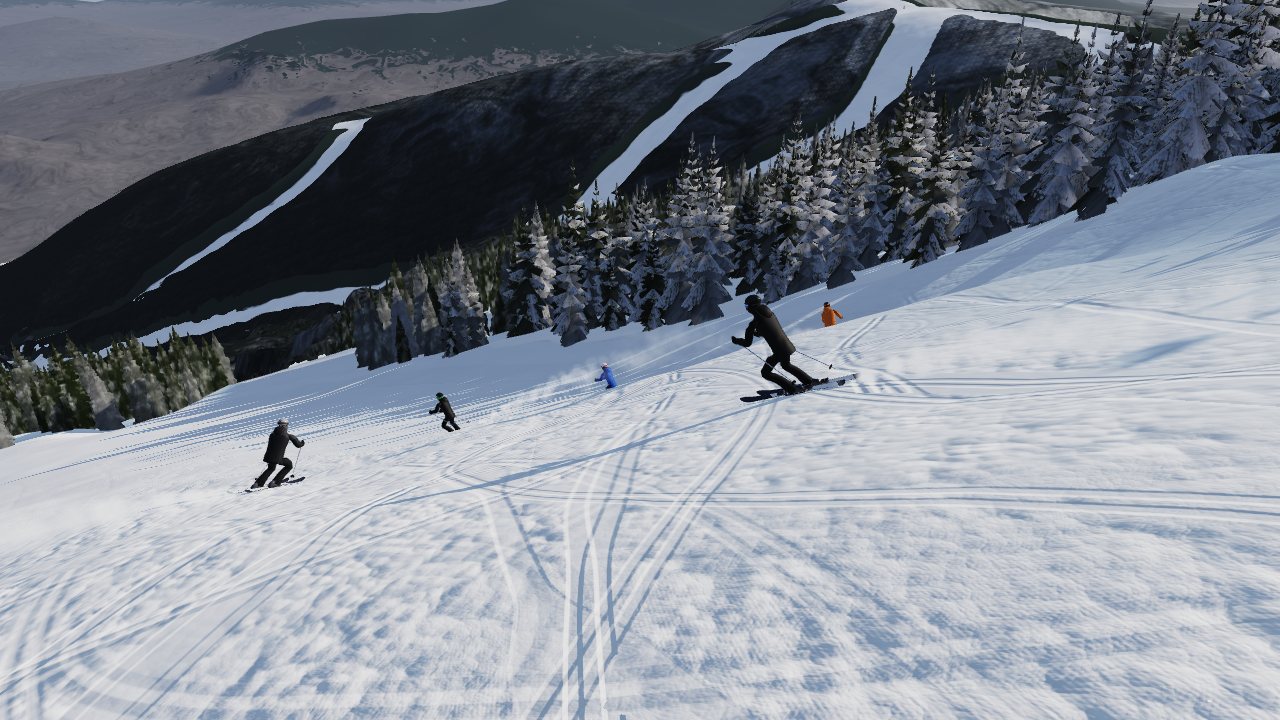
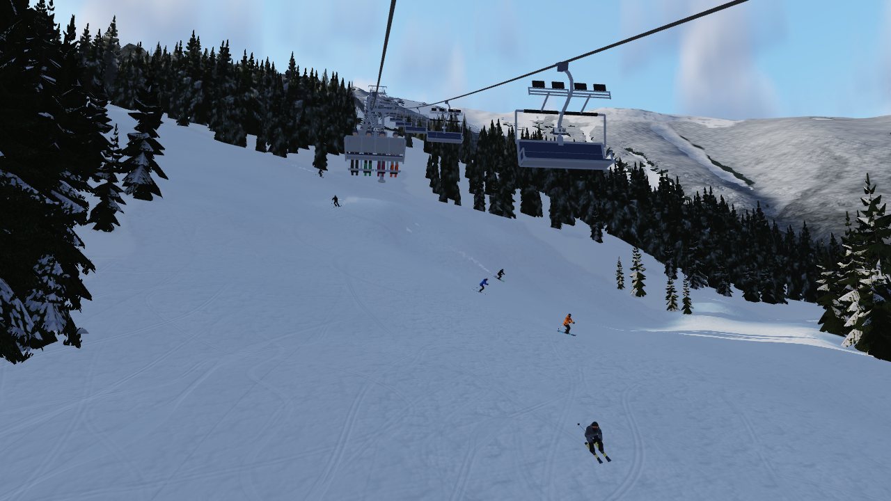
Upper Skyward open faceSkiing toward the bend
What a skier's feedback did

Corrections that only a local could make

Data gets you the shape of the mountain. Knowing how it skis comes from the person who skis it.

"Cloudspin is a trail; Cloudsplitter is the gondola."

Fixed names across the model

"Cloudspin is always ungroomed. It's a giant ungroomed Skyward."

Led to per-trail grooming

"Remember, the 800 feet refers to vert, not length."

Skyward: about 800 ft down, bend left, about 1,000 more

"Skyward is a huge field, with a huge drop-in."

Width and the lip restored from the lidar

"Riva is a generally flat trail to launch into the summit drops."

Riva rebuilt as a ridge traverse

"Glades are mostly hardwoods with no leaves. They need visibility."

Glades reforested: open, bare hardwoods, fewer conifers

"Whiteface is gigantic. It needs to feel epic, not small."

Whole-mountain scale audit
Gallery

What it looks like now

Still frames rendered from the current build. Everything here runs live in a browser.

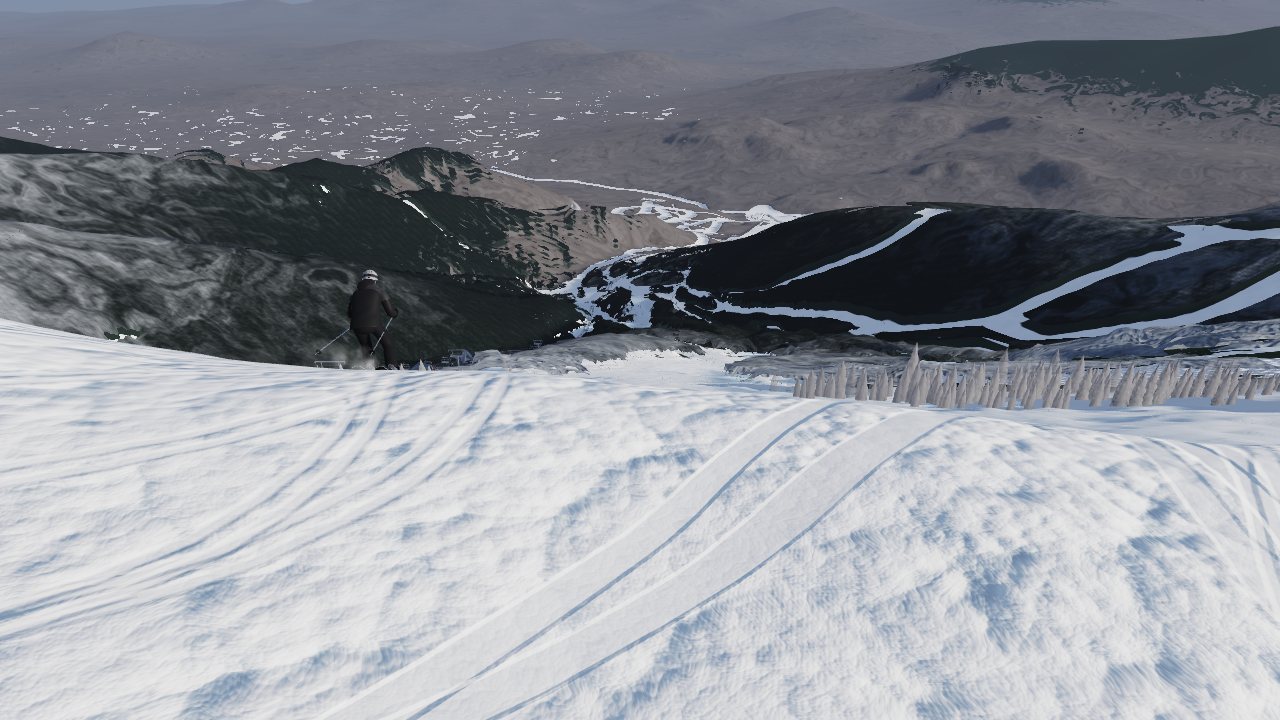
Top of Skyward
Standing at the top of Skyward.
Skyward open face
Upper Skyward's open face.
Riding the Summit Quad
Riding the Summit Quad.
Summit unload
Off the top of the lift.
Summit from the air
The summit from the air.
Skiing toward the bend
Toward the bend.
Lessons

What ten days taught

Measured data beats a good guess

Every number in the model is traceable to a source: the lidar, a published elevation or the official trail map. Where the official figures and the survey disagree, both are kept and the survey wins.

Data alone makes it feel small

A strict reading of the tree line made the big runs read like corridors. How a trail feels to ski is part of the truth too, and only a skier can supply it.

Never let a round go backwards

One round improved the map but narrowed Skyward and made the sound worse. Since then, every build is gated: no trail narrower, no drop flatter, no sound worse than what came before.

Test what actually ships

A debug line stripped at build time once blacked out a scene in production. Now the final bundle itself is tested on two graphics paths before anything goes live.

Part four

What's next

The model is updated every round. This link always opens the newest version: the Skyward film, the whole-mountain flyover, the game and the last run of the season.

Open the latest version →

Best on a laptop. Tap the sound button in a scene for sound.

I'd love to hear from anyone at Whiteface who wants to see it.

Kevin Kulic